
The node coordinates can be saved to an ASCII file, allowing them to be imported into other programs where required.
If you are working with a vertical-plane system, an ASCII record can be exported especially for the GGU-STABILITY slope stability application. This contains the calculated potentials, beside the node coordinates. These data can be directly utilised in GGU-STABILITY as a pore water pressure mesh.
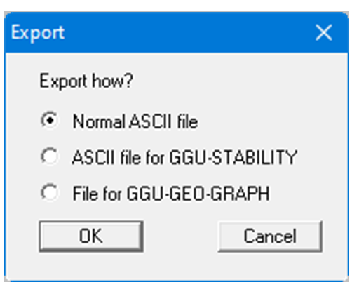
Node coordinates and potentials can also be exported to an ".iso" file for use in the GGU-GEO-GRAPH program. In horizontal-plane systems, additional measured data for the nodes, e.g. contaminant distributions, can thus be supplemented and displayed.